
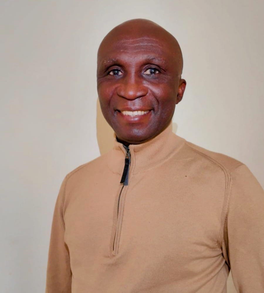
By Ibekwe Paul Chukwuemeka
Last week, the United Nations General Assembly took a historic step toward correcting a 450-year-old injustice. By a vote of 164 to 1, with the United States standing alone in opposition, the world body endorsed the adoption of the Equal Earth projection—a map that finally depicts the true size of continents, restoring Africa to its rightful visual prominence on the global stage.
For centuries, the Mercator projection has distorted our worldview. Designed in 1569 for maritime navigation, it inflated the size of Europe and North America while compressing Africa, Latin America, and South Asia into apparent insignificance. As France’s Foreign Minister Jean-Noël Barrot observed, on the Mercator map, “Greenland appears almost as big as Africa”—a cartographic lie that has shaped global perceptions, investment decisions, and even the self-image of generations of Africans.
This newspaper welcomes the UN resolution. It is a victory for truth. But it is also a mirror.
For while we celebrate the correction of global maps, we must confront an uncomfortable truth: Nigeria’s own internal mapping is in crisis. And unlike the Mercator distortion—which was imposed upon us—this is a crisis of our own making.
A NATION WITHOUT AN AUTHORITATIVE MAP
Consider the findings of the 2025 Inter-Agency Verification Report, which exposed decades of negligence in Nigeria’s national boundary management.
The report revealed that Nigeria’s international maritime boundaries with Cameroon and Equatorial Guinea remain undemarcated more than two decades after the 2002 International Court of Justice judgment on Bakassi. Instead of concluding the legally required demarcation, federal agencies relied on a provisional “Oil Dichotomy Study Model Map” produced in 2008—a document that was repeatedly deployed as a substitute for lawful boundary demarcation and used to allocate 76 oil wells and related derivation revenues between states.
The National Boundary Commission, the agency charged with this critical task, produced multiple conflicting maps between 2004 and 2008—allocating portions of the Cross River Estuary that were not ceded by the ICJ judgment, while later positions before the Supreme Court suggested total cession of the estuary. The Office of the Surveyor-General of the Federation, meanwhile, failed to assert and institutionalize Nigeria’s most authoritative national cartographic base for boundary-sensitive petroleum allocation.
The consequences are not merely technical. They are fiscal, legal, and existential. Security analysts warn that unresolved maritime boundaries could deny Nigeria an estimated 780 hectares of territorial waters and expose over 49 oil wells in OML 114 to transboundary complications with Cameroon. The report’s findings have now been escalated to President Bola Ahmed Tinubu for urgent intervention.
THE COLONIAL ROOTS OF OUR CARTOGRAPHIC CRISIS
How did we arrive at this point?
The answer lies in the very history this newspaper has documented in our ongoing series, “Restitching the Nation: A Speculative History of Nigeria.” Nigeria’s borders were not drawn by Nigerians. They were determined in conference rooms in Berlin in 1884-85 and finalized through bilateral agreements between European powers competing for trade monopolies.
The Nigeria-Cameroon border dispute over Bakassi is a direct inheritance of this colonial cartographic legacy. As scholars have noted, “most of Africa’s conflicts are traceable to the boundary divisions imposed by the colonial powers”—boundaries that dismembered ethnic groups and allocated natural resources arbitrarily across the continent.
But here is the uncomfortable truth: colonialism drew the original maps, but it is we who have failed to correct them.
THE CONSEQUENCES OF CARTOGRAPHIC NEGLIGENCE
The Inter-Agency Report exposes a pattern of institutional failure that goes beyond mere administrative incompetence. It reveals:
- Conflicting Cartographic Positions: The NBC’s own maps contradicted one another, undermining Nigeria’s legal position in international disputes.
- Disregard for Scientific Standards: Reliance on provisional maps rather than internationally recognized boundary demarcation protocols compromised national interest.
- Inter-Agency Dysfunction: The NBC and OSGoF operated at cross-purposes, with the latter discrediting the former’s maps—all while Nigeria’s maritime interests remained unprotected.
- Contempt for Due Process: Oil wells and derivation revenues were allocated based on disputed maps, without resolving the underlying boundary questions.
This is not merely a failure of governance. It is a failure of sovereignty.
A PRESIDENTIAL OPPORTUNITY
President Tinubu has reportedly directed that boundary management, petroleum data integrity, and inter-agency coordination be treated as national security priorities. The inauguration of the 10th Surveyors Council of Nigeria and the decision to place the Office of the Surveyor-General under the direct purview of the Presidency signal a renewed commitment to geospatial governance.
These are positive steps. But they must be followed by concrete action:
First, the President should direct the immediate conclusion of Nigeria’s international maritime boundary demarcation with Cameroon and Equatorial Guinea, in accordance with the 2002 ICJ judgment.
Second, the National Boundary Commission must be reformed to ensure it produces a single, authoritative, scientifically verified national map—not conflicting documents that undermine our legal position.
Third, the Office of the Surveyor-General of the Federation must be empowered to establish and institutionalize Nigeria’s National Geospatial Data Infrastructure, as officials have acknowledged is long overdue.
Fourth, the National Assembly should enact legislation establishing clear protocols for internal boundary demarcation between states, ending the ad-hoc reliance on provisional maps.
THE DEEPER MEANING
The UN resolution on global mapping is an act of epistemic repair—a recognition that how we depict the world shapes how we understand our place in it .
But repair cannot be outsourced. If we celebrate the correction of global maps while tolerating the chaos of our own cartographic infrastructure, we are merely consumers of truth—not producers of it.
Nigeria’s boundaries are not merely lines on a map. They determine which communities receive oil revenues, which states can claim maritime resources, and how we as a nation understand our territorial integrity. They are the physical manifestation of our sovereignty.
For decades, we have allowed colonial-era maps and provisional documents to determine our national destiny. The UN’s decision offers us a model: even the most entrenched cartographic distortions can be corrected through collective will and institutional action.
The question is whether Nigeria has the will to do the same.
Ibekwe Paul Chukwuemeka is the author of The City He Never Returned To and the forthcoming book, Restitching the Nation: A Speculative History of Nigeria. He writes from Brussels.
Discover “The City He Never Returned To”
Explore the acclaimed debut novel by Ibekwe Paul Chukwuemeka. Order your copy directly from Akajiofo Press today.
Discover more from Akajiofo Press
Subscribe to get the latest posts sent to your email.
Leave a Reply